Figures and photographic plates from Report of the Tribunal appointed to inquire into the disaster at Aberfan
HM Stationery Office 1966
| click on the link for a larger version of the image | Original image | Annotated |
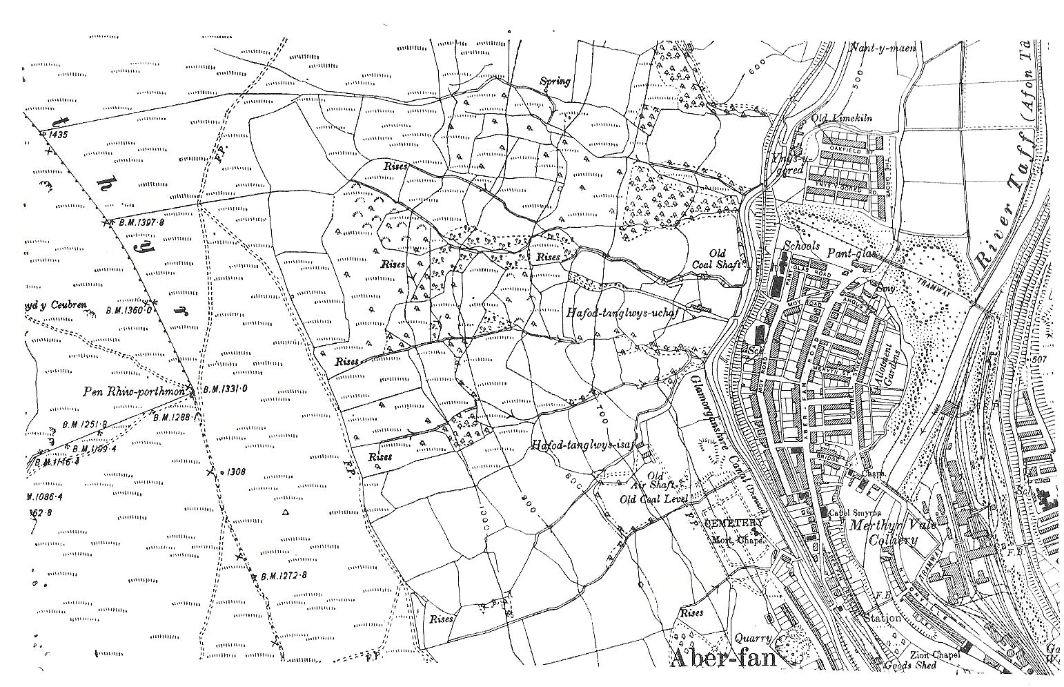
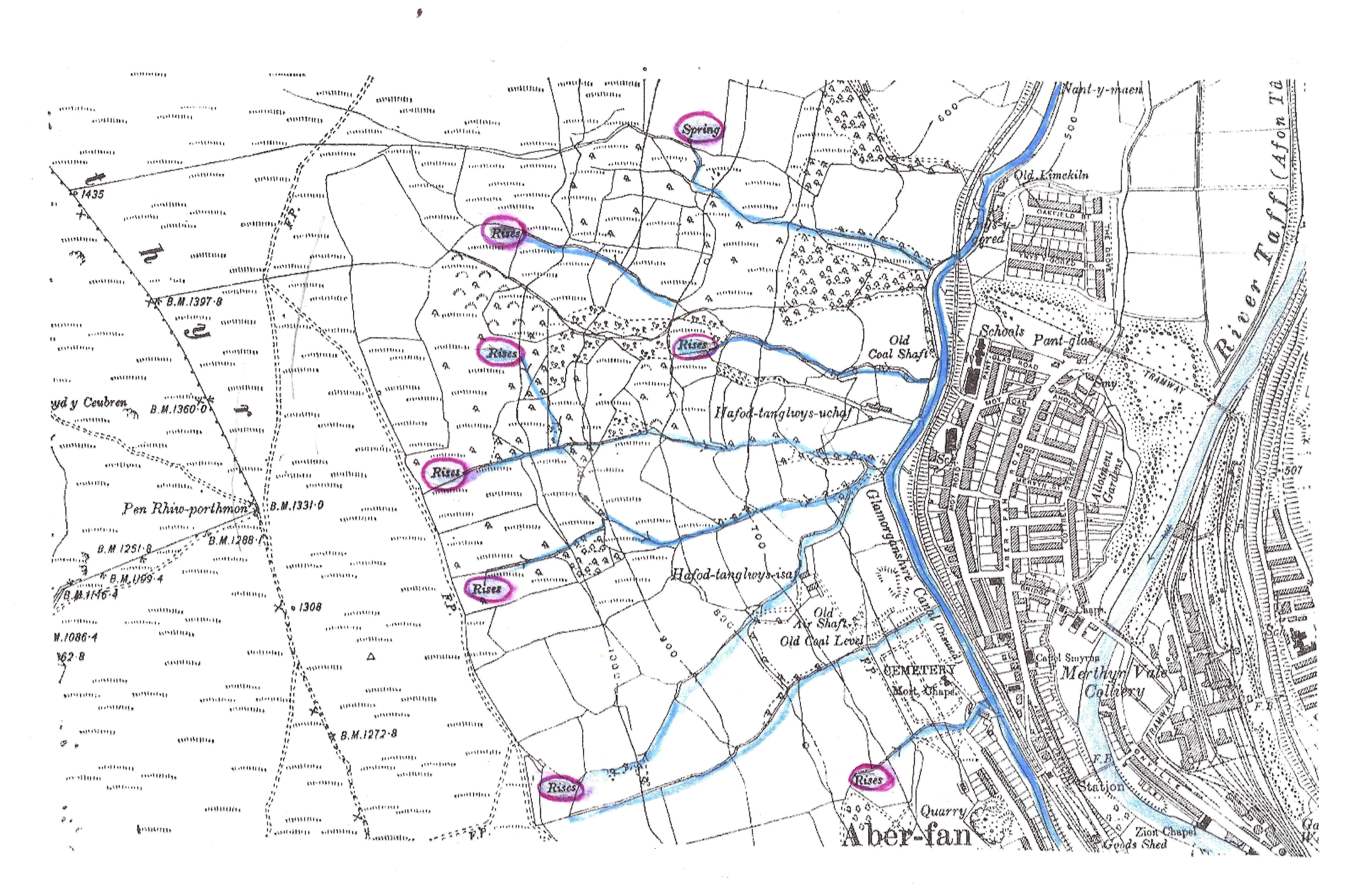
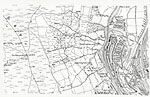
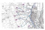
Figure 1 Ordnance survey map of 1919 showing streams and springs on hillslope above Aberfan before mining Figure 1a Springs are emphasized |
 A A |
 B B |
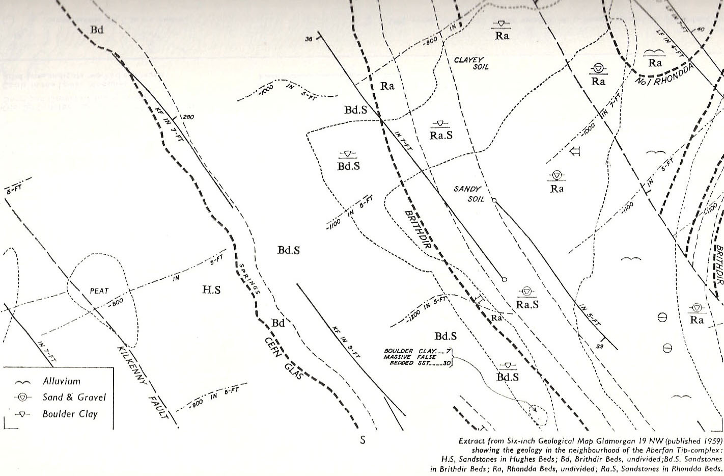
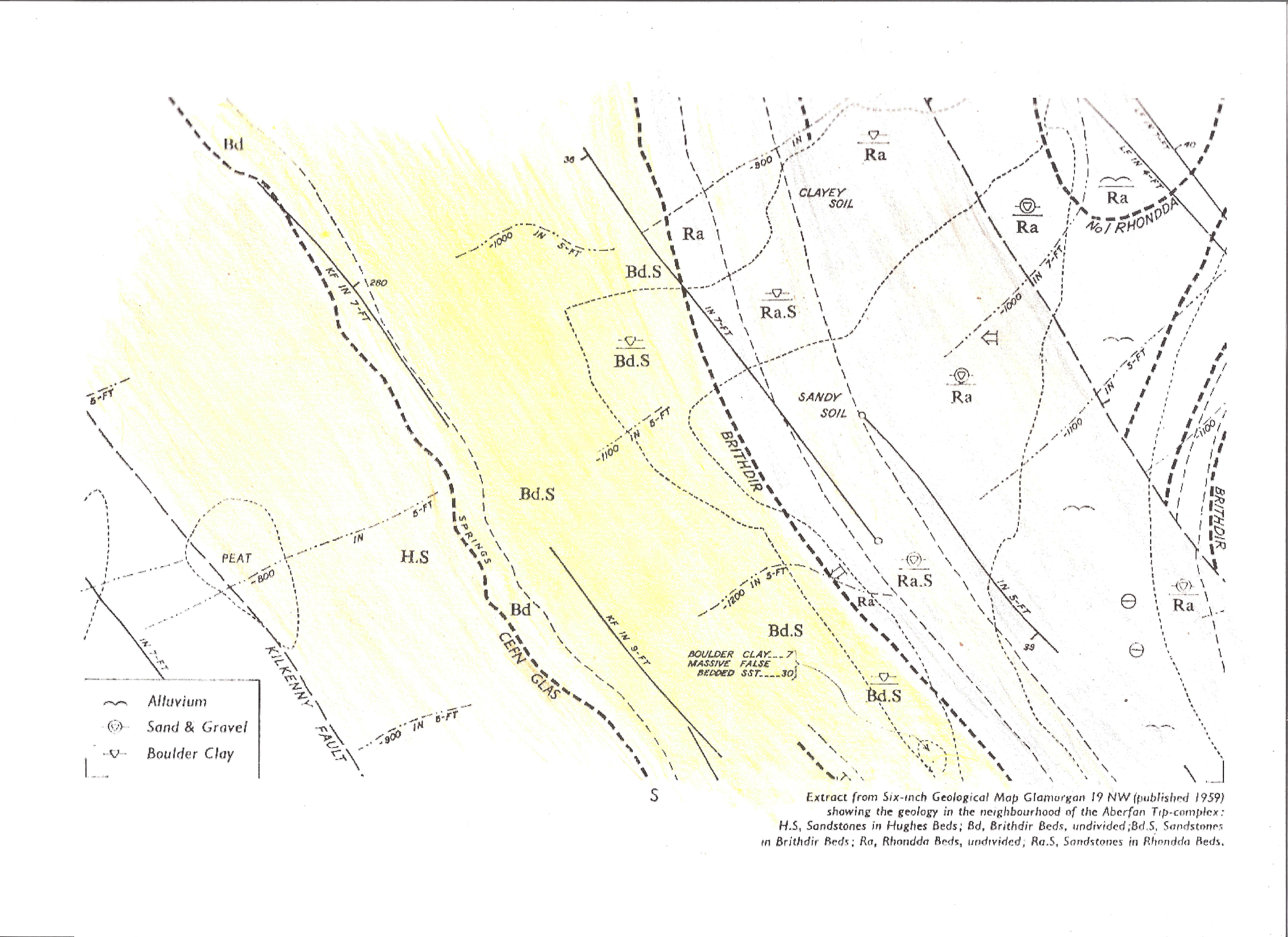
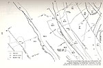
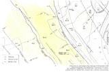
Figure 2 Geological Map of the area in Figure 1. Figure 2a Color version. Note mudstone layer at top of Rhonda Beds. |
 C C |
 D D |
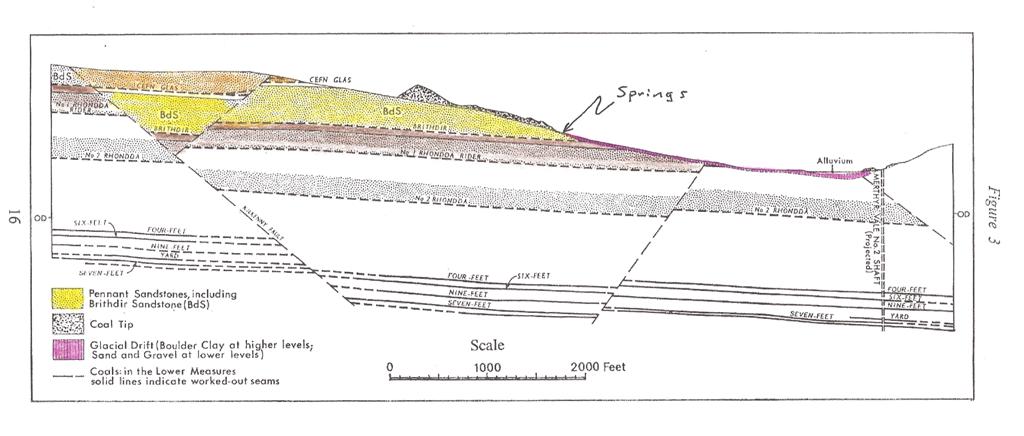
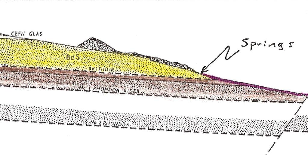
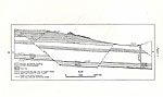
Figure 3 Geological cross section of the area Figure 3a Color version with spring located. Rhonda mudstone prevents downwards flow; glacial clay makes additional flow barrier. (see enlargement) |
 E E |
 F F |
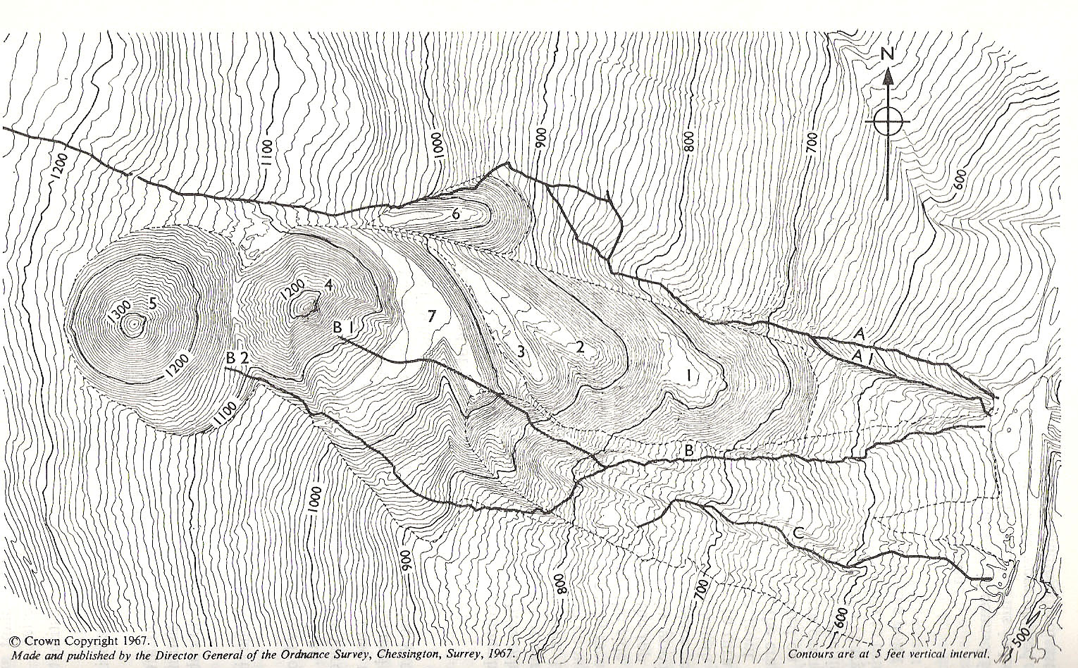
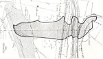
Figure 4 Topographic map of the tip complex showing positions of drainages Figure 4a |
 G G |
|
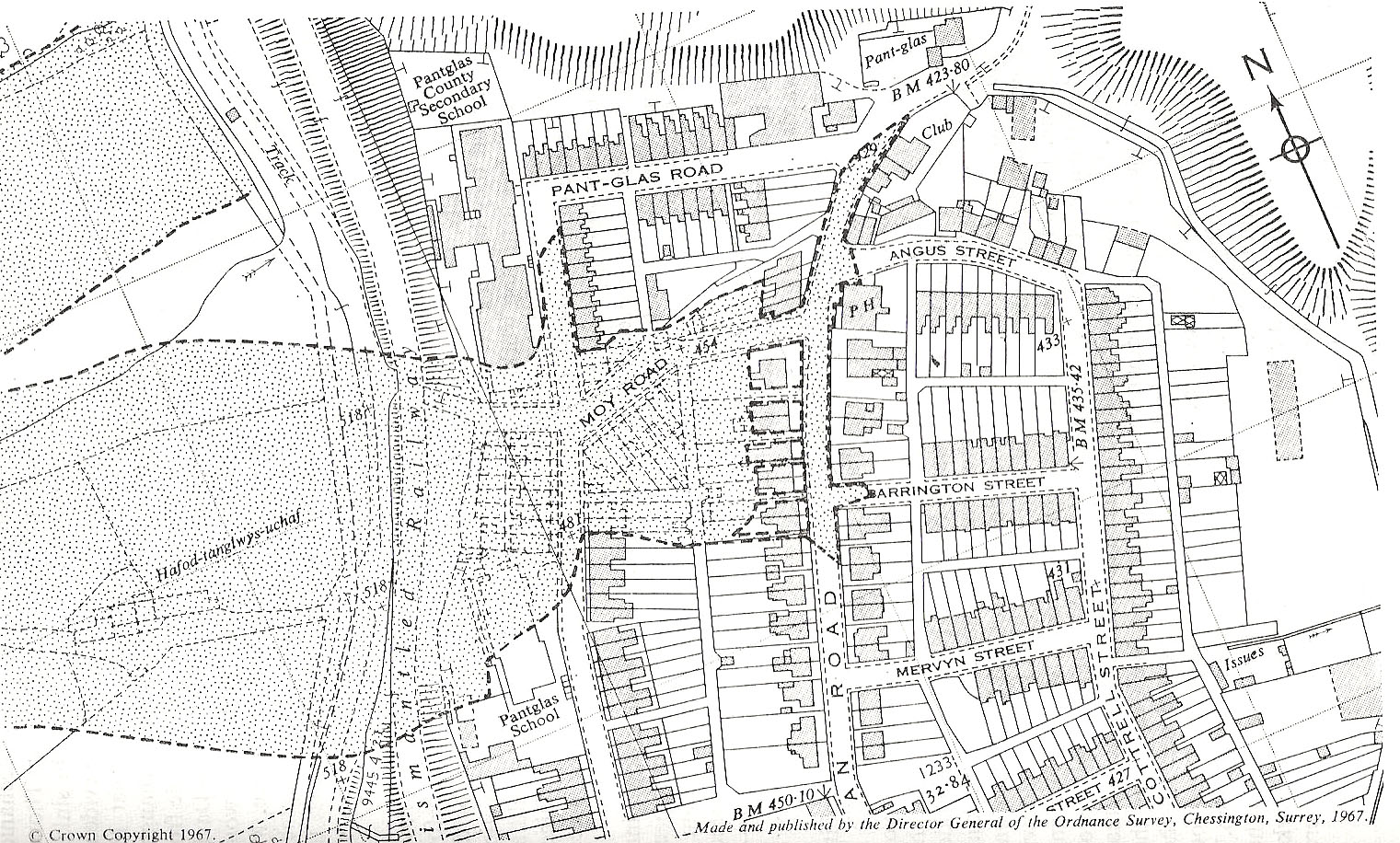
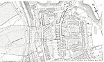
Figure 5 Street plan of Aberfan showing extent of flow Figure 5a Clean up at the village school
|
 I I |
J |
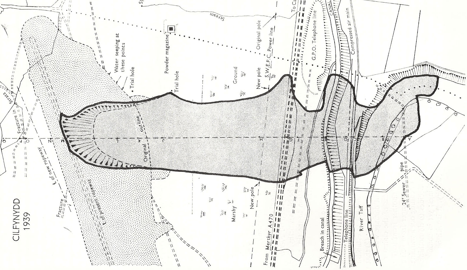
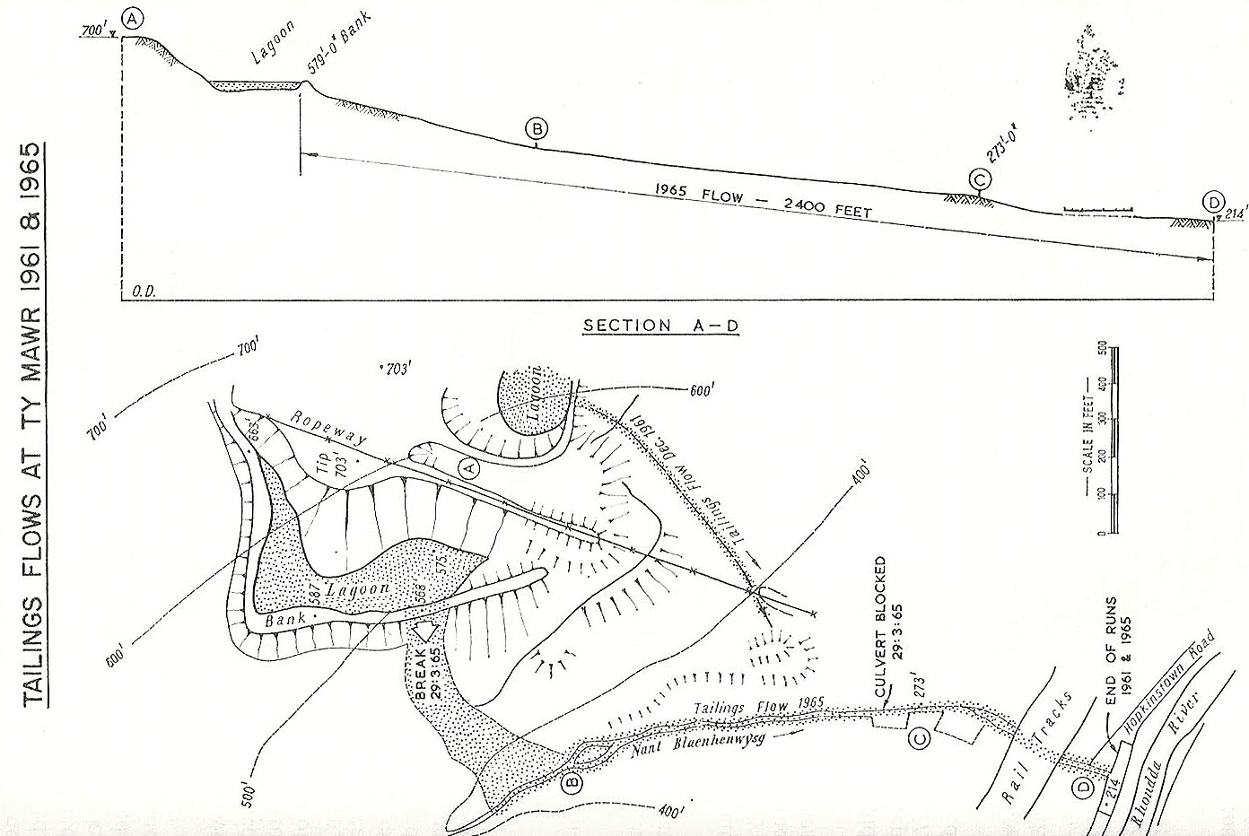
Figure 6 Similar slide that occurred at Cilfynydd in 1939 Figure 7 Tailings flow at Ty Mawr in 1961 and 1965 |
 K K |
L |
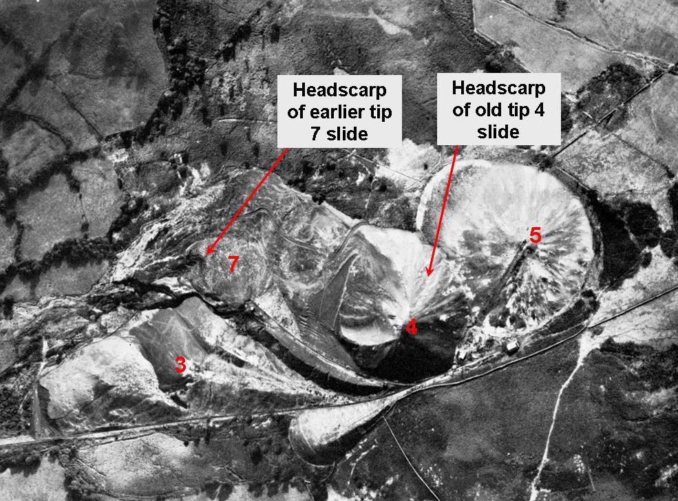
Plate 1 Tips from directly overhead, May 1963 Plate 1a shows locations of headscarps of earlier slides |
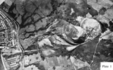 M tiff jpeg M tiff jpeg |
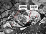 N N |
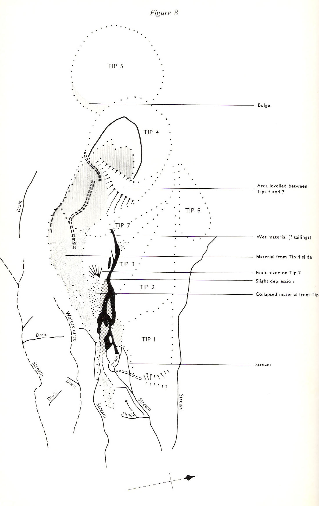
| Figure 8. Key to plate 1 | 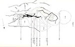 O O |
|
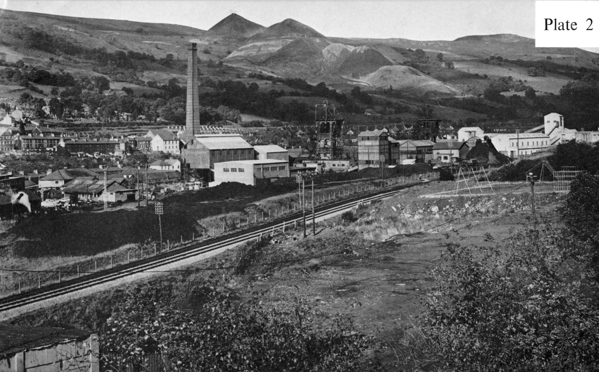
| Plate 2 View of colliery and tips shortly before the disaster | 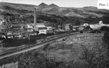 Q Q |
|
| Plate 3 View of tips, 1964 |  S S |
|
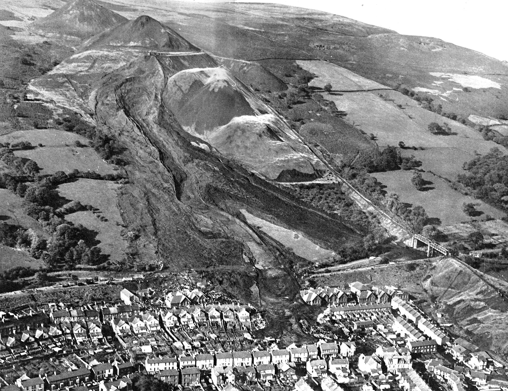
| Plate 4 & 5 Aerial photograph from the east on the day of the disaster (Oct 21st, 1966) | U 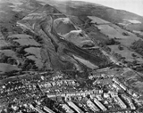 jpeg jpeg |
|
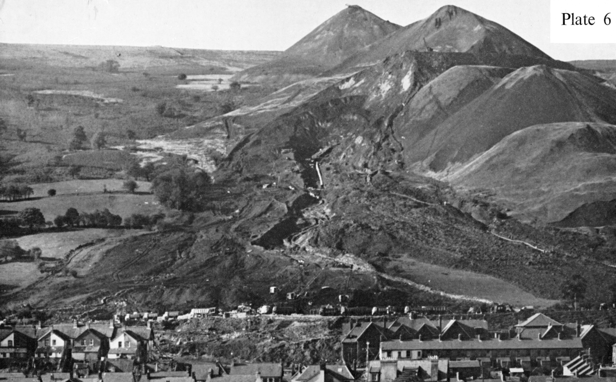
| Plate 6 View of tips after the disaster showing drainage works | 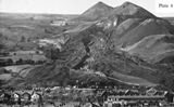 W jpeg W jpeg |
|
| Plate 7 View of the slope three hours after the disaster. Shows flow-slide with central mud-run. | 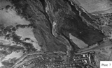 Y jpeg Y jpeg |
|
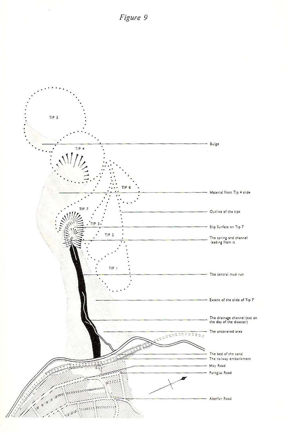
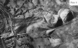
Plate 8 Tips from directly overhead -- two days after the disaster Figure 9 Key to plate 8 |
 Z jpeg Z jpeg |
 |